Engels
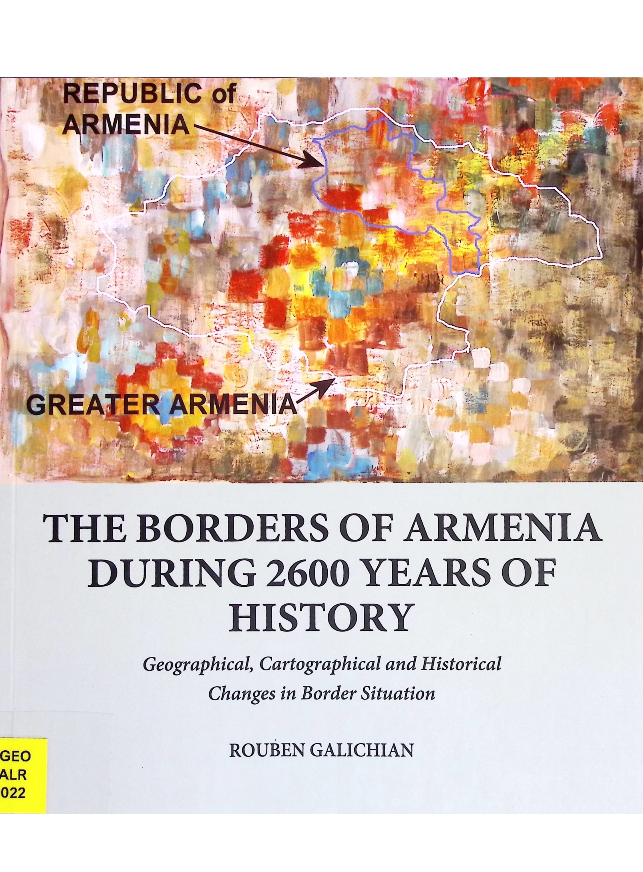
The borders of Armenia during 2600 years of history. geographical, cartographical and historical changes in border situation
Galichian, Rouben • Geografie
2022 , Yerevan (A-GEO GALR 2022)
Rouben Galichian is a researcher of the cartography of the South Caucasus, whose focus is on the territories and borders of historical as well as present-day Armenia.
At present Armenia - as a christian country - is inserted as a wedge between two Turkic-speaking republics: Turkey and Azerbaijan. This geographical situation has given the extremists an opportunity to create many political, cultural and ethnic problems. The implementation of Ottoman Turkey's plan for creating a belt of Turkic-speaking countries by connecting these peoples from Europe to Central Asia and Siberia, has one obstacle: the existence of the wedge, which is Armenia.
The starting point of the above program was the implementation of the Armenian genocide, by which Turkey got rid of Armenians and other christians living in its eastern territories. After the collapse of the Soviet Union, the authorities of the Republic of Azerbaijan are trying to do everything to call the Armenian people “newcomers to the region”, forgetting that they have lived and created in this part of their homeland for more than three millennia. Every effort is made by the Azeris to remove Armenian historical and cultural monuments from their territory or, alternatively, to appropriate them. To achieve this aim all sorts of fabricated historical and cultural falsifications and even inventions are published and dispersed worldwide.
The purpose of this booklet is to present to the reader how foreigners have perceived and presented Armenia in their maps, even when Armenia had lost its independence. It also clarifies how, even after independence in 1918, our neighbours have usurped and appropriated Armenian territories and changed its boundaries.
Ook online
PDF bekijken